Location
| England Devon Dartmoor SX 64701 77409 Lat 50.58064761 Long -3.91242045 |
Characteristics
| Type: Single | Length: ?m |
| No. of stones: 10 | Size of stones: Small only |
| Orientation: 135° | Altitude: 406m |
| Upper end: – | Lower end: Cairn |
| Straight (Yes or No) : ? | Sea View: No |
| Context: Cairns,stone alignment and prehistoric settlement | |
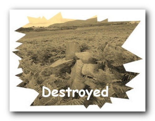
| Notes: Destroyed. | |
Other Information
| Public Access: Yes |
| Land Status: National Park |
| Scheduled Ancient Monument: No |
Identification
Category: Unlikely. R.N. Worth reported that this row consisted of a line of stones leading NW from a fine cairn. “Owing to a very ancient hedge having been erected parallel with this line, the stone were left, where not taken, in the ditch of the hedge. This became in time a bog, and the stones sank so that only their nozzles appear above the bog, and some places can only be dectected by sounding with stick or crowbar. Stones small.” (Worth, R.N., 1895, 439). This description makes it clear that this is unlikely to be a stone row since a row composed of small stones would not have survived the ditch digging involved in the building of the hedge. It is much more likely that they represented stones exposed in the side of the ditch.
Online Resources
PastScape Historic Environment Record Prehistoric Monuments of Dartmoor
Prehistoric Dartmoor Walks TDA, Worth, R.N.
Other References
Butler, J., 1991, Dartmoor Atlas of Antiquities – Vol. 2 – The North, Devon Books Exeter, pgs.49-51.

