Three parallel lines of tiny stones. View from west (Scale 1m).
A triple stone row measuring 147.5m long, including 61 mainly small-sized stones and three large slabs situated on an east facing slope immediately outside a substantial prehistoric coaxial field system. The row is orientated ESE to WNW and unusually leads between blocking stones at the top and bottom. The stone pair at the top of the row represented by large recumbent slabs is a unique feature. There is another stone row, cairns and prehistoric settlements with fields in the vicinity.
Location
| England Devon Dartmoor SX 67431 71042 Lat 50.524104 Long -3.8715682 |
Map showing the location of Holne Moor stone row.
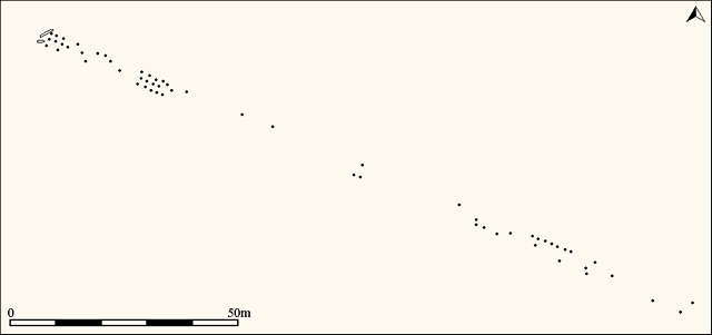
Simplified plan of the Holne Moor stone alignment. (Source: Butler, J., 1993).
Characteristics
| Type: Triple | Length: 147.5m |
| No. of stones: 61 | Size of stones: Small and large |
| Orientation: 112° | Altitude: 360m |
| Upper end: Pillar | Lower end: Pillar |
| Straight (Yes or No) : No | Sea View: Yes |
| Context: Prehistoric field system and settlement | |
| Notes: | |
Other Information
| Public Access: Yes |
| Land Status: National Park |
| Scheduled Ancient Monument: Yes |
Identification
Category: Plausible. No doubts have been expressed regarding the prehistoric interpretation of this row.
Typology
This stone row is of Type T12. Information on this form of stone row and other rows of this type is available here.
Photographs
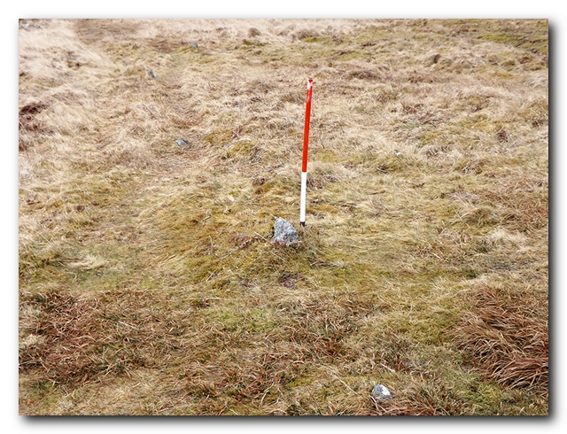
Looking south east along the rows (Scale 1m). The field boundary is parallel to the rows and forms the southern edge of the substantial Bronze Age Yar Tor coaxial field system, which elsewhere truncates the triple stone alignment at Yar Tor. The relationship with the field boundary may suggest that this alignment was afforded respect by the field system builders or alternatively it was built afterwards. If the latter this would suggest that stone rows remained in use during the Middle Bronze Age – an explanation that is contradicted by evidence from elsewhere on Dartmoor.

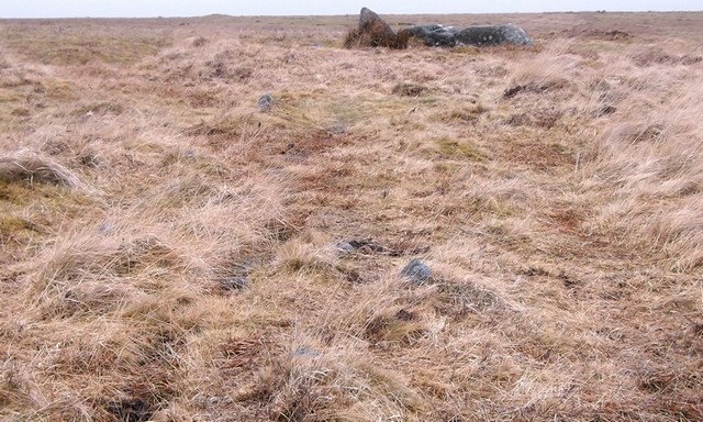
Looking across the three rows that are composed entirely of small stones. View from north (Scale 1m).

Looking south east along a well preserved length of the alignment (Scale 1m).
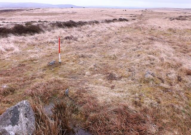
Looking north west along the row. The large slabs denoting the upper end of the rows are visible together with a sky line cairn on Holne Ridge.
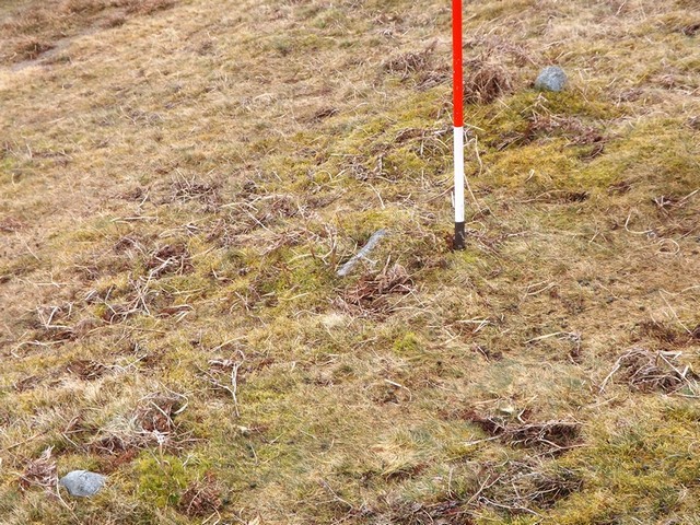
The alignment is composed mainly of tiny stones that barely protrude through the turf (Scale 1m).
Access Information
Car parking is available at SX 67544 71401. From here head south across the open moorland for about 400m. This row can easily be visited at the same time as the one at Holne Ridge.
Online Resources
Megalithic Portal Modern Antiquarian PastScape Historic Environment Record
Prehistoric Monuments of Dartmoor Prehistoric Dartmoor Walks
Other References
Burl, A., 1993, From Carnac to Callanish – The prehistoric rows and avenues of Britain, Ireland and Brittany, Yale University Press, New York and London, pg. 215.
Butler, J., 1993, Dartmoor Atlas of Antiquities – Vol. 4 – The South-East, Devon Books Exeter, pgs. 193-194.
Timeline
VISITED:- 14th April 2013
FIRST PUBLISHED:- 24th January 2016
LAST UPDATED:- 31st January 2018
